
Ofbyld:The River Tay and Friarton bridge.jpg
Gjin hegere resolúsje beskikber.
The_River_Tay_and_Friarton_bridge.jpg (640 × 480 pixels, bestânsgrutte: 123 KB, MIME-type: image/jpeg)
Gearfetting
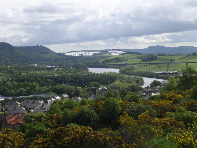
| Beskriuwing | The River Tay and Friarton bridge. The view is taken from Craigie Hill to the south of Perth looking east along the valley of the Tay. |
| Datum | |
| Boarne | https://www.geograph.org.uk/photo/12097 |
| Auteur | Val Vannet |
| Tastimming (Reusing this file) |
Licensed for reuse under CC-BY-SA-2.0 |
| Object location | | View this and other nearby images on: OpenStreetMap |
|---|
_region:GB-GBN_&language=fy)
Lisinsje

|
This image was taken from the Geograph project collection. See this photograph's page on the Geograph website for the photographer's contact details. The copyright on this image is owned by Val Vannet and is licensed for reuse under the Creative Commons Attribution-ShareAlike 2.0 license.
|
This file is licensed under the Creative Commons Attribution-Share Alike 2.0 Generic license.
Nammefermelding: Val Vannet
- Fiel jo frij:
- te dielen – it wurk te kopiearjen, fersprieden en út te stjoeren
- te fermingen – it wurk oan te passen
- Under de neikommende betingsten:
- Nammefermelding – You must give appropriate credit, provide a link to the license, and indicate if changes were made. You may do so in any reasonable manner, but not in any way that suggests the licensor endorses you or your use.
- Lyk diele – If you remix, transform, or build upon the material, you must distribute your contributions under the same or compatible license as the original.
Original upload log
From en.wikipedia:
- 08:30, June 19, 2005 . . Erath 640×480 (125,585 bytes) (Copyright, Val Vannet. Taken 23 May 2005; found at http://www.geograph.co.uk/photo/12097 {{Cc-by-2.0}} )
Triemskiednis
Klik op in datum/tiid om it bestân te besjen sa't it op dat stuit wie.
| Datum/Tiid | Miniatuer | ôfmjittings | Meidogger | Opmerking | |
|---|---|---|---|---|---|
| lêste | 6 jun 2007, 17.06 | | 640 × 480 (123 KB) | Kjetil r | {{Information |Description=The River Tay and Friarton bridge. The view is taken from Craigie Hill to the south of Perth looking east along the valley of the Tay. |Source=http://www.geograph.org.uk/photo/12097 |Date=Monday, 23 May, 2005 |Author=[http://www |
Bestânsgebrûk
De neikommende side brûkt dit bestân:
Globaal bestânsgebrûk
De neikommende oare wiki's brûke dit bestân:
- Gebrûk op bg.wikipedia.org
- Gebrûk op cs.wikipedia.org
- Gebrûk op de.wikipedia.org
- Gebrûk op en.wikipedia.org
- Gebrûk op es.wikipedia.org
- Gebrûk op eu.wikipedia.org
- Gebrûk op fa.wikipedia.org
- Gebrûk op fr.wikipedia.org
- Gebrûk op hu.wikipedia.org
- Gebrûk op hy.wikipedia.org
- Gebrûk op it.wikipedia.org
- Gebrûk op lmo.wikipedia.org
- Gebrûk op nl.wikipedia.org
- Gebrûk op nn.wikipedia.org
- Gebrûk op no.wikipedia.org
- Gebrûk op pl.wikipedia.org
- Gebrûk op pl.wikivoyage.org
- Gebrûk op tr.wikipedia.org
- Gebrûk op www.wikidata.org